Roopkund trek is one of the best hikes in Uttarakhand.
The hikes highlights includes walking up snowy exposed ridges to Junargali and visiting the mysterious Roopkund Lake.
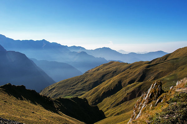
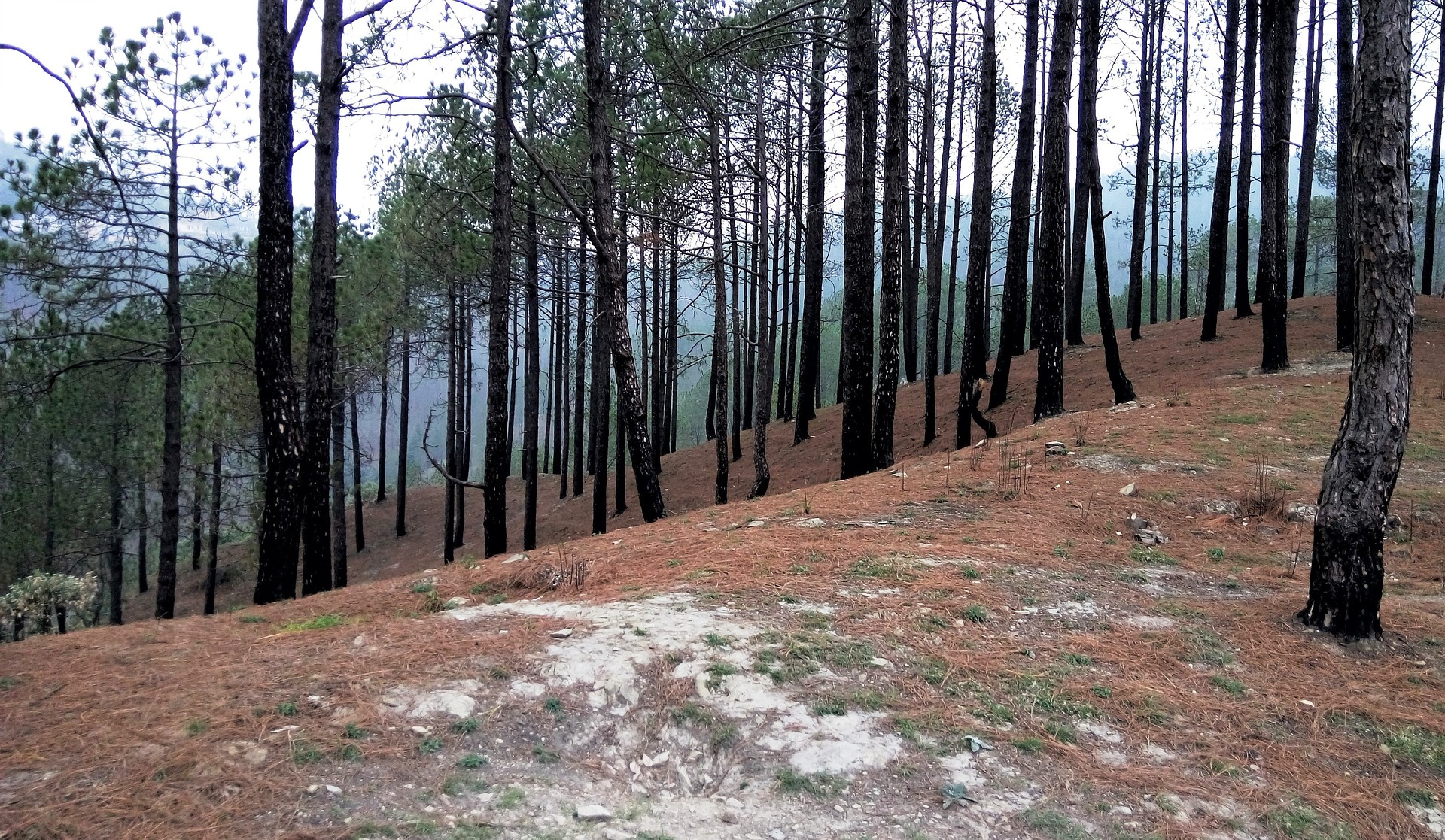
On the Roopkund hike you'll walk through beautiful dense forests and awe-inspiring meadows. You'll also get up close to snow-capped peaks.
Update: Unfortunately the Roopkund trek is currently closed. The Uttarakhand High Court issued an order (Petition No.: 123/2014) in August 2018, which prohibits camping on alpine meadows or grasslands known as Bugyals. The court denied a reconsideration appeal on September 26th, 2018, and it is highly unlikely that the Roopkund trek will opened anytime soon. As of 2023 the Roopkund hike remains closed due to the ban on camping in Bugyals. See other hikes in Uttarakhand.
Roopkund Hike FAQs
What topography will I experience on the Roopkund trek?
The topography of the hike is diverse, and you will hike through forests, alpine meadows and across mountainous ridges.
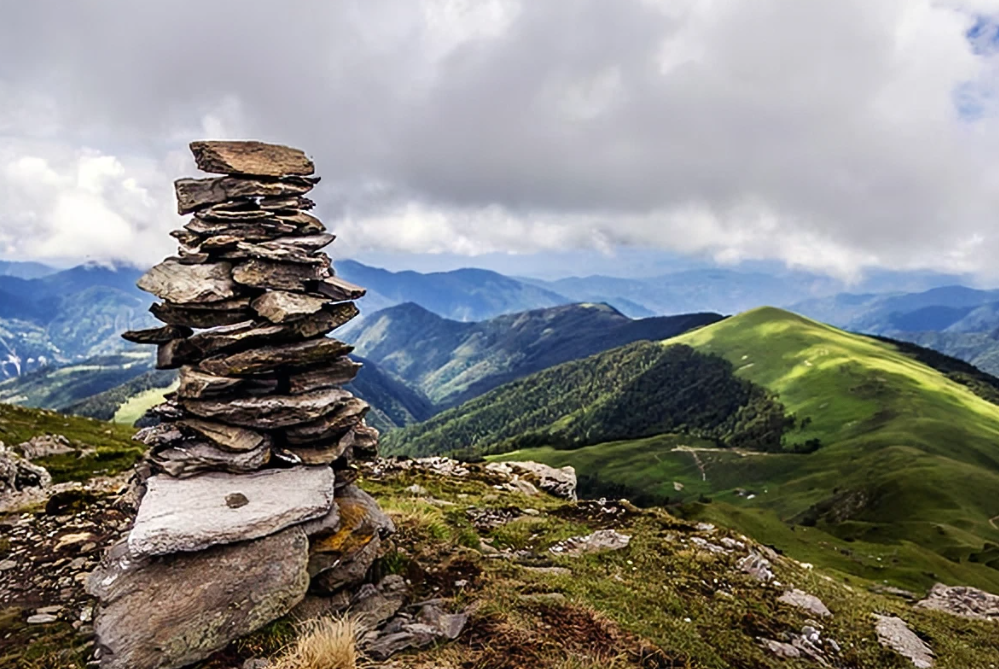
Initially you will hike through dense forest before they give way to the beautiful meadows of Ali and Bedni Bugyal, which stretch onwards for miles.
Roopkund itself, is a high altitude, glacial lake and is famous for the hundreds of ancient skeletons found in and around it.
Interestingly, research concluded that the ancient local people died from a sudden and severe hailstorm here, with hailstones the size of cricket balls.
What wildlife and plants might I see on the Roopkund hike?
On the first day of this spectacular hike you will walk through the Oak and Rhododendron forests of Ghairoli Patal.
You will also pass through the Bugyals, which are spectacular alpine pastures. In winter the area is covered with snow, and in summer it becomes a beautiful carpet of colourful flowers and emerald grass.
The area is used by traditional herdsmen to graze their cattle.
What is the Roopkund hike like?
It is easy to see why the Roopkund trek is one of the best in Uttarakhand. One of the reasons the trail is so popular is its amazing alpine meadows located above 4,000 feet, which are so big it takes days to cross them.
Another is the oak and rhododendron forests which are very dense. You will hike through the forest for almost a day, and will pass through it on both the ascent and the descent.
Lastly, the mountainous section of the hike is truly an adventure. All in all, this Indian hike is definitely one for your trekking bucket list.
What interesting facts should I know about the Roopkund hike?
- When the ice of Roopkund Lake melts, hundreds of human skeletons are revealed.
- The skeletons were first reported in the 19th century, but the news failed to spread.
- The area of Uttarakhand is known for its Hindu Pilgrimage sites.
- The highest peak in Uttarakhand is Nanda Devi.
- Bedni Bugyal is largely considered the most beautiful meadow.
Roopkund Trek Route
Please Note: On 28 August 2018, an order by the Indian High Court banned overnight camping in the high meadows in Uttarakhand which has effectively closed this hike inndefinitely.

Photo by travel d'globe
Typical Roopkund Itinerary
Day 1: Base Camp (Lohajung)
On the first day, you will arrive at the base camp in Lohajung. Lohajung is a small village and serves as a base camp for many hikes additional to the Roopkund trek.
From the village you will have a beautiful view of the mountains you are about to set off into. Your altitude here is 7,700 ft.
Day 2: Drive from Lohajung to Wan - Trek to Ghairoli Patal
- Elevation Gain: 2,000 ft
- Days/Hours: 1-hour drive and 4-hour hike
On this first day, you will drive from Lohajung to Wan, where you start your trek at 8,000 ft altitude. The trial initially winds through a cluster of houses before reaching Cypress trees.
From here, the trail heads up a ridge, Ranaka Dhar, which you climb to the top of. Once reaching the top you will make your way down the Neel Ganga River.
After reaching the river, the trail ascends through a beautiful Oak and Rhododendron Forests. Finally, you will arrive Ghairoli Patal.
Accommodation: A trekkers hut in a clearing of the forest.
Top Trail Tips
- Remember to carry sufficient water (you will be able to refill at Neel Ganga though).
- Before starting out, remember not to over pack your backpack.
- Keep an eye out for birds such as magpies and flycatchers.
Day 3: Ghairoli Patal to Bedni Bugyal
- Elevation Gain: 1,500 ft
- Days/Hours: 2 hours
You begin your day by continuing steeply into the Oak and Rhododendron Forests. However, after about half an hour, the forest opens up into a huge meadow and from here you continue onwards to Ali Bugyal.
Ali Bugyal is an awe-inspiring sight - endless expanse of rolling meadows. From here you will make your way to Bedni Bugyal, which is your destination for the day.
Accommodation: Bedni campsite.
Top Trail Tips
- Remember to carry sufficient water.
- The changing scenery is incredible, so it may be a good idea to take a small camera along to capture the moment.
Optional day (recommended) - Excursion to Bedni Top
- Elevation Gain: 700 ft
- Days/Hours: 1 hour
This day is an optional acclimatization day at Bedni Bugyal. Here, you can do a recommended stroll to the Bedni top.
Day 4: Bedni Bugyal to Patar Nachauni
- Elevation Gain: 1,200 ft
- Days/Hours: 4 hours
Day four of the Roopkund trek leaves the Bedni campsite in an easy manner.
You will hike across the meadow before you cross a saddle and move across to the other side of a ridge.
You still are in the meadows of Ghora Lotani, which flow into the mountain side.
Here, you follow the trail to Patar Nachauni, after reaching the Roopkund trail you hike upwards, above your past Bedni campsite.
Your next campsite is Patar Nachauni, where you have the option to stay in eco shelters.
Accommodation: Camping or eco-shelters at Patar Nachauni.
Top Trail Tips
- You can choose to spend an extra day Ghora Lotani to acclimatise.
- The view from Patar Nachauni is amazing but can be rather windy.
- There are no water sources along the way, so carry sufficient water.
Day 5: Patar Nachauni to Bhagwabhasa
- Elevation Gain: 1,400 ft
- Days/Hours: 5 hours
You begin the day with a steep climb to Kalu Vinayak, where the trail follows a zig zag track up the mountain.
The trail from Kalu Vinayak to Bhagwabasa is much easy, and gradually heads downwards. When you reach Bhagwabasa, you reach a group of stone huts made by the locals in the area.
If you choose to stay here, you will pay on a bed basis, but you can also campsite just outside of the huts.
Accommodation: Huts or camping.
Top Trail Tips
- Take it slowly, as you will probably feel the thin air.
- Be aware of snow patches, as they can be slippery.
- Nights very cold, so make sure you have an adequate sleeping bag.
Day 6: Bhagwabasa to Roopkund to Junargali - Return to Patar Nachauni via Bhagwabasa
- Elevation Gain: Total elevation - 3,800 ft
- Days/Hours: Total hours - 9 hours
You start your day early and begin your climb up towards Roopkund. From the huts it is roughly 3.1 miles (5 km) to Roopkund, although beginning in a gradual manner, the trail soon becomes a steep climb and switch backs.
Finally, you will reach Roopkund which is a crater on the mountain face and you will have to climb down roughly 50 ft to reach it.
From Roopkund, you follow a gentle incline until you reach the face of the mountain, where you climb steeply before reaching Junargali.
Start you return from Junargali, reaching Roopkund in roughly half an hour. From Roopkund you will gradually make your way down, which is initially rather tricky.
Once you are out of the switchbacks, it’s an easier walk to Bhagwabasa. From here you descend back to Pathar Nachuni, where you camp for the night.
Accommodation: Camping at Pathar Nachuni.
Top Trail Tips
- Leave early so that snow isn’t soft, if you go later in the day you may struggle,
- If you are trekking alone, you should take an ice axe to cut steps into the snow,
- Rope can come in handy when climbing Junargali.
Day 7: Patar Nachauni to Lohajung via Bedni and Wan
- Elevation Gain: 4,500 ft decline
- Days/Hours: 6 and a halfs with a 1-hour drive
Here, you begin the journey downwards, back towards home. Today you will retrace your steps to Bedni Bugyal.
After about roughly 20 minutes, you will reach the edge of the tree line of the Oak and Rhododendron Forest and you will make your way back to the Ghairoli Patal.
You then descend to Neel Ganga River, and from here, it is a short climb to the Wan village. From here you make an hour drive to Lohajung.
Accommodation: Lohajung.

More Roopkund Treks FAQ
When is the best time to visit Roopkund?
The best time to visit Roopkund depends on what you want to see. If you're looking for snow, then around late May is the best time, however, if you want to see vegetation then September is a good time.
The best time to do the Roopkund trek is in the summer, between May and June, as it means that you will get to see many of the flowers in the area in bloom.
September is also a good time to go, as this is just before the region freezes over, with late September having a lot of snow on the trek.
Please Note: Throughout the year, almost all of Roopkund is typically covered in snow. So, dress warmly!
Do I need a permit to go on Roopkund hikes?
At present, you cannot secure a permit for the Roopkund trek. As of 2018, there is a ban on camping in the Uttarakhand meadows to better preserve the area. So, until the ban is lifted, trekking in the Uttarakhand meadows has come to a stop for now.
Are the Roopkund hikes difficult?
The difficulty of Roopkund hikes is rated between moderate and difficult, as some days are harder than others. Generally, you should be hiking fit and have a good understanding of the route prior to setting off.
The overall difficulty of the trek will ultimately depend on your level of fitness, in combination with factors such as the weather, your experience in hiking and a little bit of luck. However, the route is not overly technical.
You can do Roopkund hikes without a guide, but you will have to do a fair bit of planning beforehand.
Is altitude sickness a risk on Roopkund Treks?
Yes, altitude sickness is a risk on Roopkund treks due to the relatively high altitude. You will have to keep this in mind and avoid hiking too quickly so as to allow your body to acclimatize.
If you are fit before hiking, and you take an acclimatization day at Bedni Bugyal, you reduce the risk of sickness.
However, remember to be aware of your body and drink lots of water along the way.

Photo by Tarun Gupta
What gear do I need for Roopkund Treks?
Two essential items you will need on this trek are a good, study pair of hiking boots, as well as a good quality hiking backpack, between 40 and 60 l is a good idea in terms of volume.
Be aware that the evenings can be cold, and certain times of year are snowy - so check the weather conditions and pack accordingly.
Generally speaking, clothing that you can easily layer is recommendable. Lastly, a trekking pole will come in handy, especially on the day that you hike up to Roopkund and Junargali.
Are there any recommended guidebooks for the Roopkund area?
There are two recommended guidebooks for the Roopkund area. First, is the Uttarakhand & Haryana - Blue Guide Chapter from Blue Guide India. This guidebook comes with a map as well as detailed information on Indian history and culture and eating and accommodation tips.
The second recommendation is the Trekking in the Indian Himalaya by Lonely Planet which covers the region’s top treks.
Continue browsing...
See more information on India. Or check out these other Indian Hiking articles:

